The first thing to understand is that you have probably overestimated the distances. The Public Garden to the North End is a thirty-minute walk. Back Bay to Faneuil Hall is twenty-five. The entire historic core is about three miles end to end, and on a decent day the fastest way across most of it is on your own feet. Getting around Boston is therefore mostly a question of knowing the handful of journeys where the subway genuinely saves you time, and not wasting money on the ones where it does not.
This guide covers the T line by line, what everything costs, how to pay, the ferry and the commuter rail, bikes, when a car is a mistake, and the single best-value airport transfer in the United States. Fares were checked in September 2026 — confirm current prices at mbta.com before you travel, because the system is mid-way through a series of changes.
The Short Version
- Walk anything under about a mile and a half in the central neighborhoods. That covers most of what you came to see.
- Take the T for Cambridge, Charlestown, the Fenway, Jamaica Plain, East Boston and the airport. A single ride is $2.40.
- Buy a 7-day pass ($22.50) if you are staying outside walking distance; it pays for itself on day three.
- Take the free Silver Line inbound from Logan. Yes, free.
- Take the ferry back from Charlestown at the end of the Freedom Trail. Best ten minutes in the city.
- Do not rent a car unless you are driving to Lexington and Concord or out to the Cape.
Walking, Which Is the Default
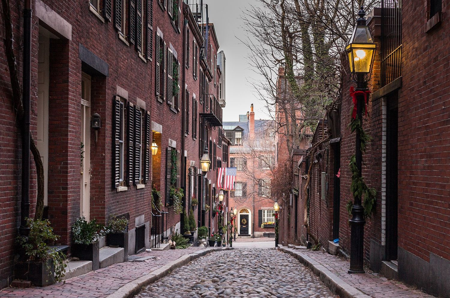
Boston is consistently ranked among the most walkable cities in the United States, and the reason is historical accident: the oldest part of it was laid out on a small peninsula before anyone had a horse-drawn tram, let alone a car, so the distances between things are pre-industrial.
Practical notes that matter more than they sound:
- Shoes. Brick sidewalks heaved by tree roots, granite setts, and genuine colonial cobble in the North End and on Beacon Hill. Two and a half miles of that in the wrong footwear will end your day.
- Weather. Rain comes off the water sideways and an umbrella is often useless. Bring a hood. In January the wind on the bridges is a serious proposition.
- Crossing the road. Boston drivers have a reputation and they have earned it. Pedestrian crossing behavior here is best described as improvisational, and visitors from more orderly places should watch for a beat before stepping out.
- Navigation. The old streets follow no grid, change name without warning, and are not laid out to be understood. Download an offline map. Everyone uses their phone here, including people who grew up on these streets.
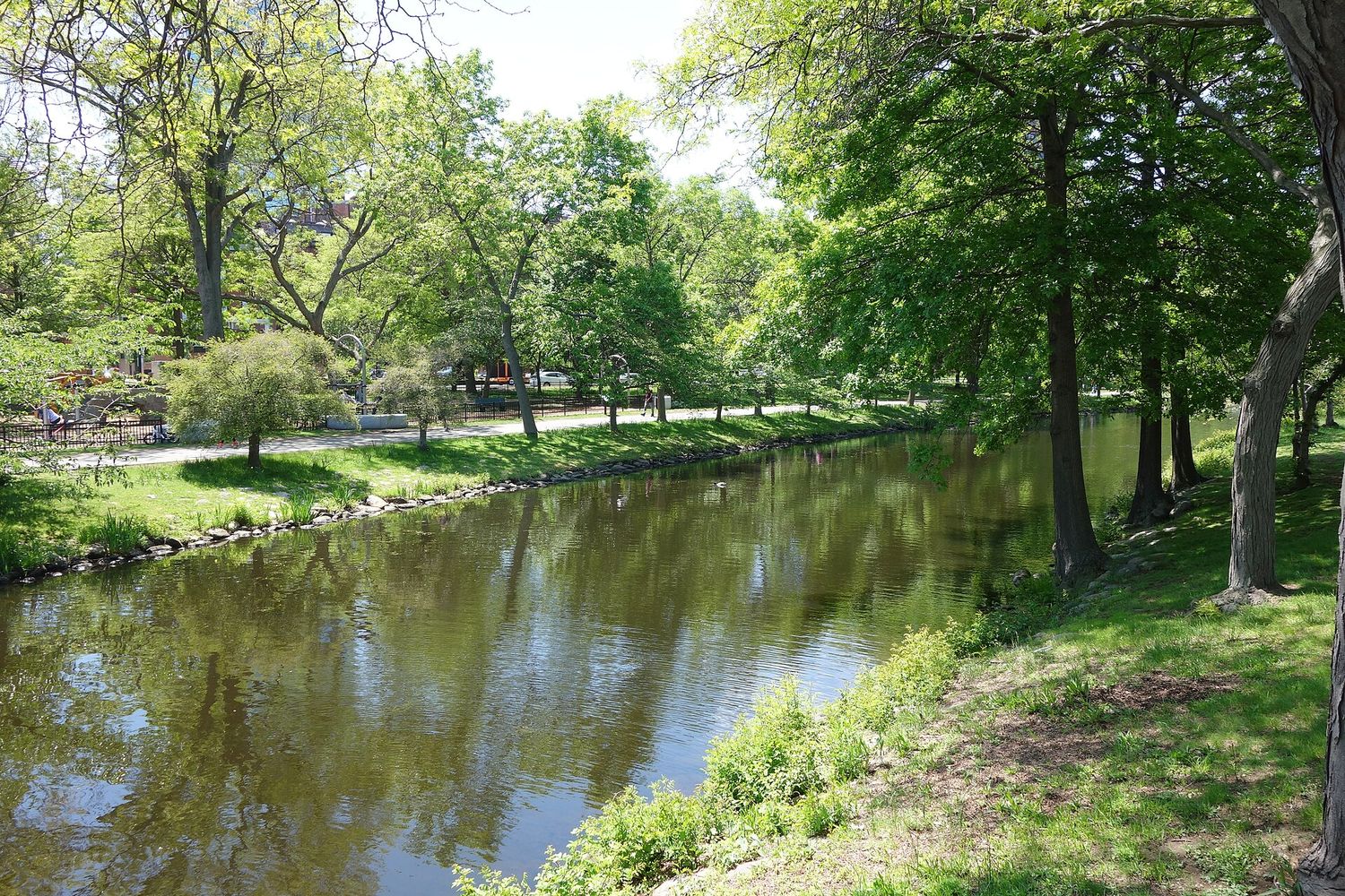
Two long car-free routes worth knowing: the Charles River Esplanade, three miles of riverside path from the Museum of Science to the BU Bridge, and the Harborwalk, 43 miles of continuous public waterfront that links most of the harbor-facing neighborhoods. Both are free, flat and pleasant, and both will get you between places faster than you expect.
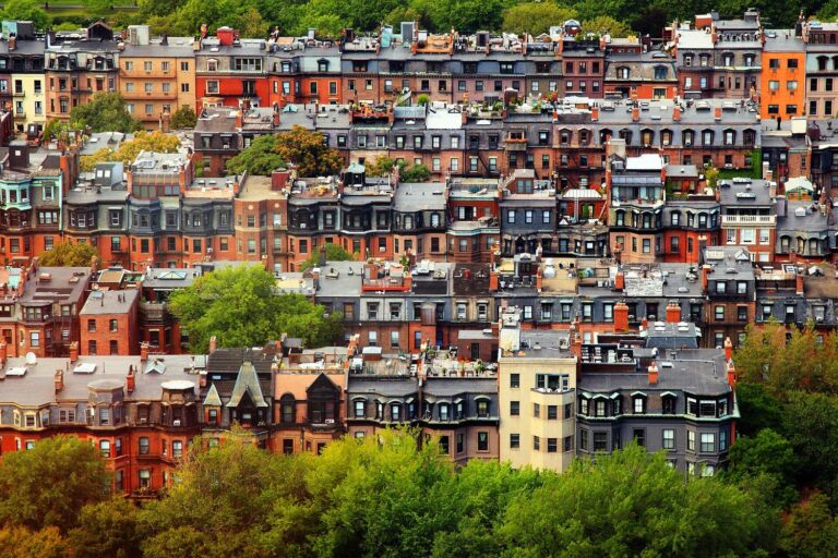
One more piece of context that makes the geography click. Boston’s downtown street plan is genuinely medieval in shape because it was laid out on a peninsula in the 1630s and never straightened. Everything that looks logical — Back Bay’s alphabetical grid, the South End’s squares, the Seaport’s wide blocks — was built on land that did not exist at the time and was planned on paper. So when a street suddenly stops making sense, you have crossed from made ground onto the original shoreline, and no amount of map-reading will help. That is when you walk another block and let it resolve itself.
The T: How the Subway Actually Works
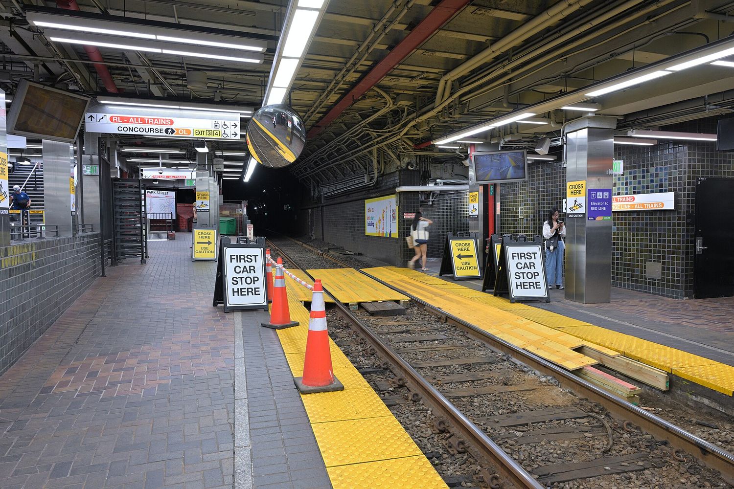
The Massachusetts Bay Transportation Authority — universally “the T” — runs the oldest subway in North America. The Tremont Street tunnel under Boston Common opened in 1897, and Park Street and Boylston stations have been in continuous use ever since, which you can feel.
The lines
- Red Line — the fastest and most useful. Cambridge (Harvard, Central, Kendall) through downtown to Dorchester and Quincy. It splits south of JFK/UMass into an Ashmont branch and a Braintree branch, so check the front of the train.
- Green Line — light rail, part street-running, and the slowest thing in the system. Four branches: B to Boston College, C to Cleveland Circle, D to Riverside, E to Heath Street via the Longwood medical area and the Museum of Fine Arts. They share the downtown tunnel and separate west of Kenmore, so the branch letter matters enormously. The B branch has about thirty stops in four miles.
- Orange Line — Oak Grove in the north through downtown to Forest Hills, which is your line for Jamaica Plain, the Arnold Arboretum and Roxbury.
- Blue Line — downtown to East Boston, the airport and Revere Beach. Short, fast and underused by visitors.
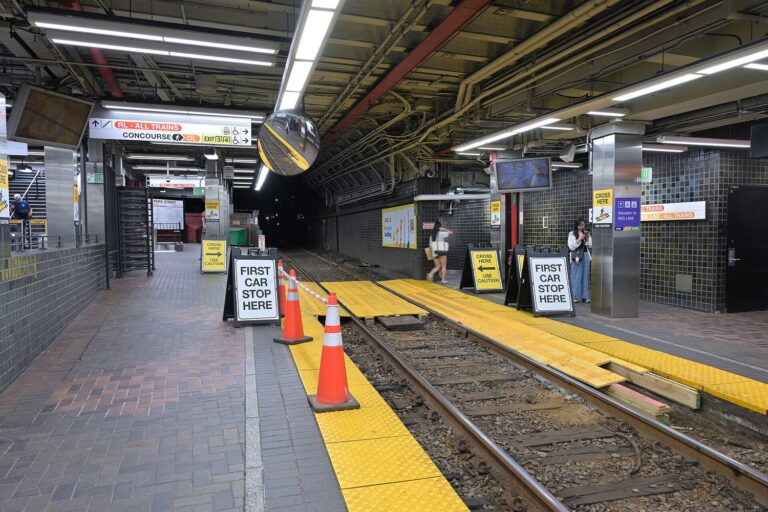
- Silver Line — not a subway at all but a bus, partly in tunnels. SL1 serves Logan Airport, and the routes connect South Station with the Seaport and Chelsea.
All four color lines cross downtown, which means almost any journey is one change or none. Park Street connects Red and Green, Downtown Crossing connects Red and Orange, State and Government Center connect Blue with Orange and Green.
Inbound and outbound
The single most confusing thing about the T for visitors. Trains are signed inbound (toward downtown) and outbound (away from downtown) rather than by compass direction, and the switchover happens at the central stations. If you are downtown already, ignore inbound and outbound entirely and read the terminus name on the front of the train.
Fares and paying
| Fare | Price | Notes |
|---|---|---|
| Subway single | $2.40 | Same on CharlieCard, contactless card or phone |
| Local bus single | $1.70 | Express buses now charge the same |
| Reduced fare | $1.10 | Seniors, eligible riders |
| 1-day pass | $11.00 | Subway, bus, Silver Line |
| 7-day pass | $22.50 | The best-value option for most visitors |
| Monthly LinkPass | $90.00 | Includes Commuter Rail Zone 1A on a CharlieTicket |
| Commuter rail weekend pass | $10.00 | Unlimited Saturday and Sunday, and some holidays |
Pay by tapping a contactless bank card or a phone directly at the gate, which is the simplest thing for a visitor and costs the same as a CharlieCard. A CharlieCard is the reusable plastic card; a CharlieTicket is the paper one from a machine and can cost more on some modes. If you want a pass, buy it at a station machine or in the app.
Riders aged 75 and over who do not hold a driver’s license travel free on all modes.
The two-hour transfer window
Since 1 September 2026 the MBTA has been piloting unlimited transfers within a two-hour window on the same payment method: you pay the highest-priced service you use during that window rather than each leg separately. Bus to subway to bus on one card is one subway fare. The catch is that it must be the same physical card or device throughout, so a group tapping different cards gets no benefit and one person cannot tap four people through. At the same time, express bus fares were brought down to match local buses, and express bus passes were discontinued.
Hours
The T is not a 24-hour system, and this shapes evenings more than visitors expect. Last trains leave downtown roughly between 12:30 and 1am, with the exact time varying by line and direction. Service starts around 5am on weekdays and later on Sundays. After the last train there are a handful of night buses and otherwise a ride-hail app.
Accessibility
Mixed, and worth checking rather than assuming. Newer and rebuilt stations are step-free with elevators; a number of older ones, particularly on the Green Line’s street-running branches, are not. Two stops on the same line can differ completely. The MBTA publishes station-by-station accessibility information, and every bus in the fleet has a ramp or lift. If step-free travel matters, plan the specific stations rather than the line.
What the T is bad at
Honest assessment: the Green Line above ground is slower than walking for short hops, the system has had well-publicized reliability problems and periodic slow zones during a long program of track repairs, and construction diversions with replacement buses are common on weekends. Check for alerts before a journey that matters, and build slack into an airport run.
Where you are going, and what to take
| Destination | Take | From | Roughly |
|---|---|---|---|
| Freedom Trail start | Walk, or Red/Green | Park Street | On the doorstep |
| Harvard Square | Red Line | Park Street | 15 min |
| MIT / Kendall | Red Line | Park Street | 10 min |
| Museum of Fine Arts | Green Line E | Park Street | 15 min |
| Isabella Stewart Gardner | Green Line E | Park Street | 15 min |
| Fenway Park | Green Line B, C or D | Kenmore | 10 min |
| USS Constitution | Ferry, or Orange Line | Long Wharf / North Station | 10–15 min |
| Bunker Hill Monument | Orange Line | Community College | 10 min plus a hill |
| Arnold Arboretum | Orange Line | Forest Hills | 20 min |
| New England Aquarium | Blue Line, or walk | Aquarium | 5–15 min |
| Institute of Contemporary Art | Silver Line | South Station | 10 min |
| JFK Library | Red Line + shuttle | JFK/UMass | 20 min |
| Revere Beach | Blue Line | Government Center | 25 min |
| Logan Airport | Silver Line or Blue Line | South Station / Government Center | 15–25 min |
Notice how many of those are fifteen minutes or under. Boston’s transit is not the fastest or the newest in the country, but the city is so compact that it rarely needs to be.
Buses
Buses fill the gaps the subway leaves, particularly across the city rather than through the center, and at $1.70 they are the cheapest thing going. For visitors the useful ones are the 93 between Charlestown and Haymarket, the routes along Washington Street through the South End, and the crosstown services to the Longwood medical area.
Buses are also where the two-hour transfer rule pays off most, since a bus-plus-subway journey on one card now costs the price of the subway ride alone. Board at the front, tap on the way in, and note that some routes have all-door boarding.
The Commuter Rail
This is how you leave the city without a car, and it is genuinely good. Two terminals, and which one you need depends entirely on which direction you are going:
- North Station (Green and Orange Lines) — Salem, Rockport and Cape Ann, Concord and Lowell. Salem is about thirty minutes away, and the MBTA runs extra weekend services in October for Haunted Happenings.
- South Station (Red Line, Silver Line) — Plymouth, Providence, Worcester, and the Amtrak corridor to New York.
Fares are zone-based and rise with distance. Buy in the mTicket app or from a machine before boarding, because buying on board can cost more where a machine was available. The $10 weekend pass gives unlimited travel on Saturday and Sunday and on some holidays, which makes a two-day pair of day trips absurdly cheap.
Ferries
Underused, inexpensive and the most pleasant transport in the city.
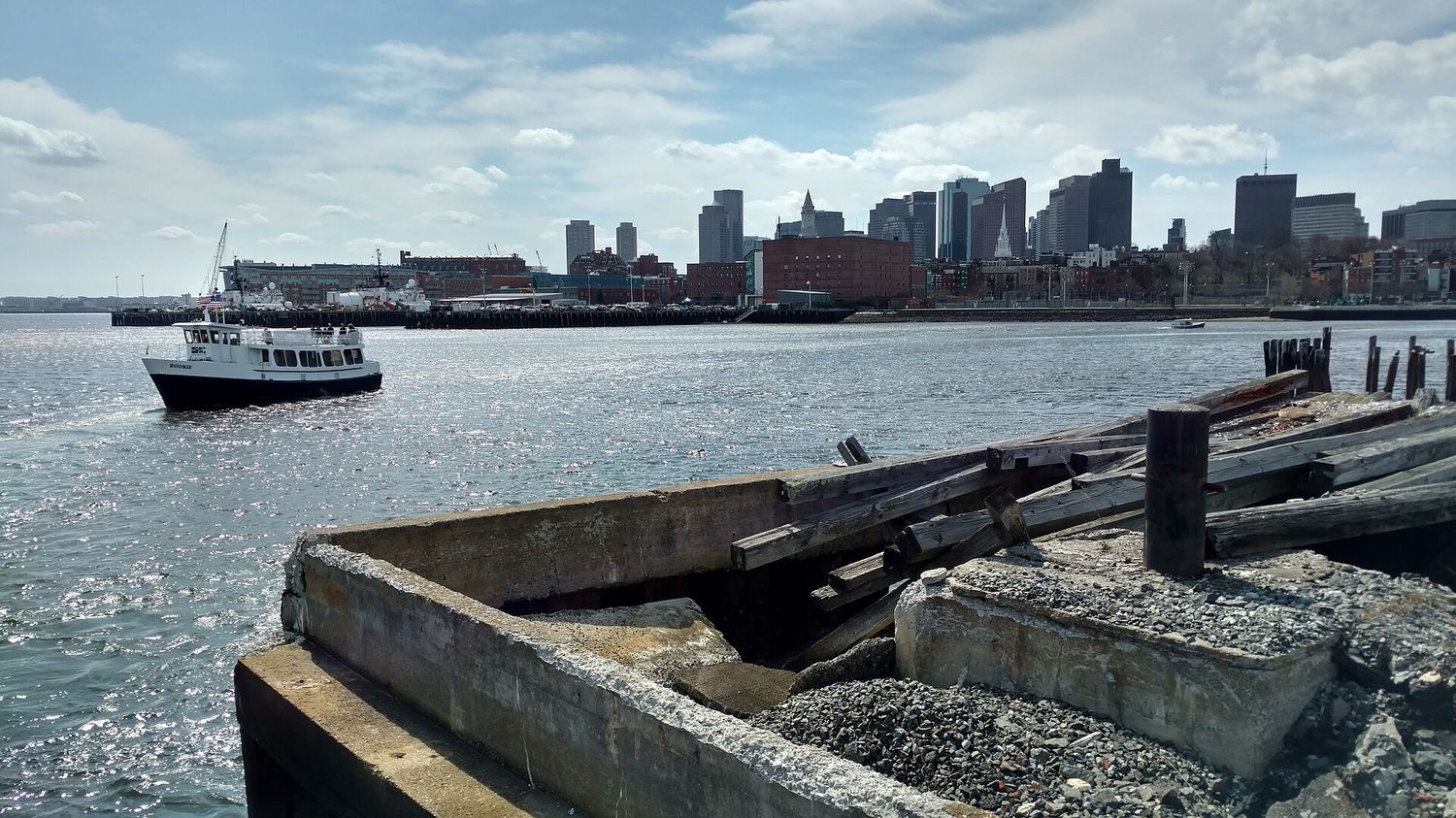
- Charlestown ferry — Pier 4 at the Navy Yard to Long Wharf, about ten minutes, and the correct way to finish the Freedom Trail. The schedule thins on weekends.
- Hingham and Hull — a longer commuter run down the South Shore, and a lovely ride.
- The airport water shuttle — across the harbor between Logan and the downtown waterfront, which is the most civilized airport transfer in America when the weather cooperates.
- Boston Harbor Islands ferries — seasonal, roughly mid-May to Indigenous Peoples’ Day weekend in October, $25 adult and $18 child 3–11 return from Long Wharf North. Not a transport service, but the best day out on the water.
Check times and fares at mbta.com before you rely on one; sailings are much less frequent than trains and missing one is a real wait.
Bikes
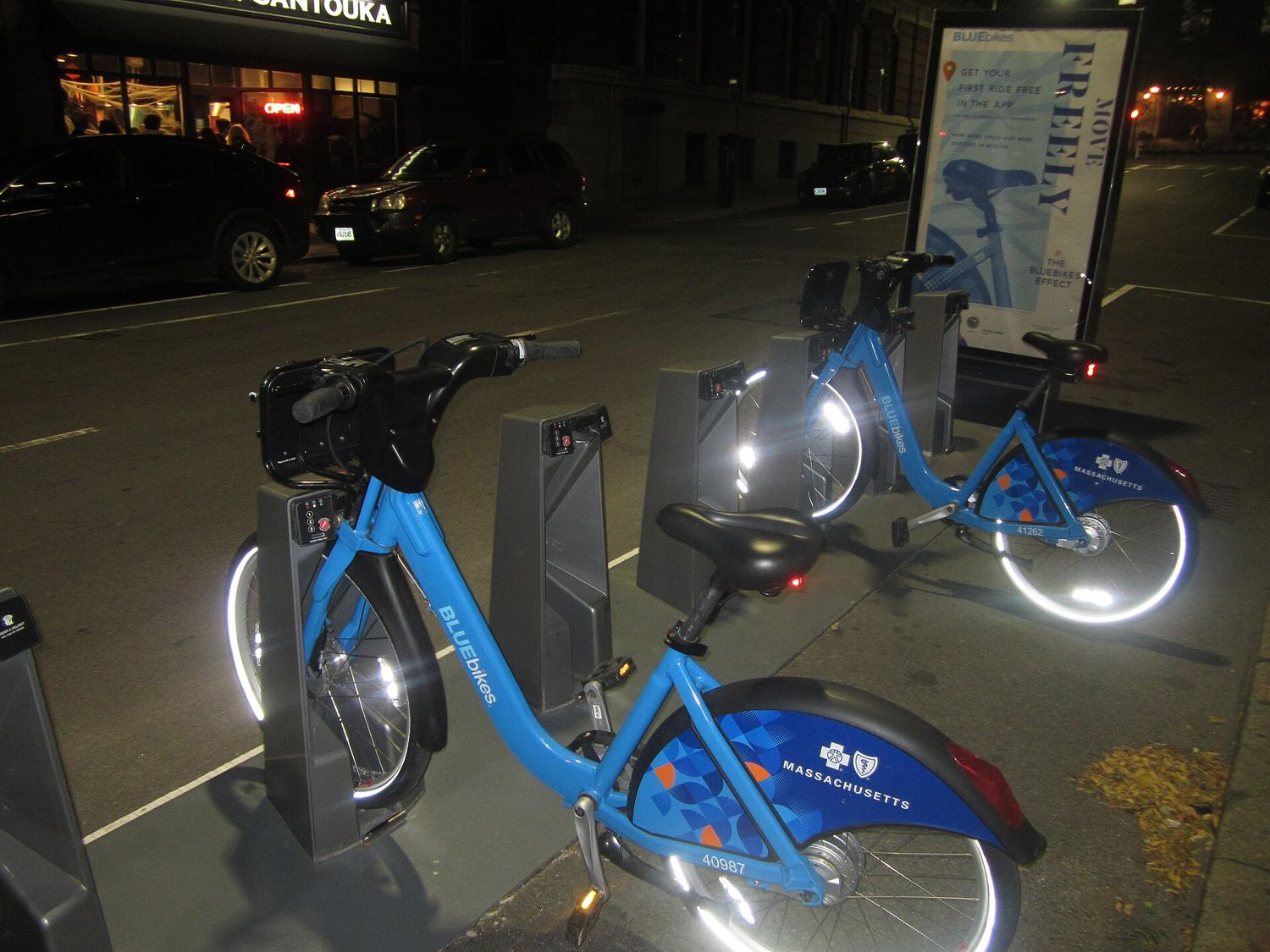
Bluebikes is the regional dock-based bike share, covering Boston, Cambridge, Somerville, Brookline and several neighboring cities, with both standard and electric bikes. You can buy a single trip or a day pass in the app, and because it is a docked system you need to end at a station rather than leaving the bike anywhere — check dock availability before you set off for a busy one.
Cycling conditions are honestly mixed. The Esplanade, the Harborwalk, the Southwest Corridor beside the Orange Line and the Minuteman Bikeway out of Alewife are all excellent, fully separated and genuinely enjoyable. Downtown streets are narrow, busy, and share space with drivers who did not expect you. If you are not a confident urban cyclist, use the paths and walk the rest.
Taxis, Uber and Lyft
Both ride-hail apps operate normally across the city, and taxis are still findable at the airport, the main hotels and the stations. Two things to know: journeys downtown are frequently slower than the subway because the street layout has no capacity, and surge pricing after a Red Sox or Celtics game, or when the last train has gone, can be dramatic.
Airport pickups have designated ride-hail zones rather than curbside collection at each terminal, so allow a few extra minutes and follow the signs.
Driving and Parking
Don’t, unless you are leaving the city.
Boston’s streets predate the automobile by two centuries, they were never rationalized, they change name mid-block, and a substantial number are one-way in the least helpful available direction. Downtown parking runs $40 or more for a day and overnight hotel parking is charged separately on top of the room. In winter, declared snow emergencies ban parking on major streets and towed cars are retrieved expensively and far away.
Two specific hazards worth naming. Storrow Drive and Memorial Drive have very low stone-arch bridges and a strict no-trucks rule, and every year — reliably around 1 September, when most of the region’s leases turn over — rental trucks are peeled open against them. The verb “storrowed” is in common local use. And the tunnels and ramps left by the Big Dig, which buried the old elevated Central Artery and put the Rose Kennedy Greenway on top of it, are unforgiving of a missed exit.
If you do need a car for a day trip, rent it on the morning you leave and return it that evening rather than keeping it parked.
To and From Logan Airport
Logan is about three miles from downtown, which makes it one of the closest major airports to a city center in the United States, and the transfer options are correspondingly good.
| Option | Cost | Time to downtown | Notes |
|---|---|---|---|
| Silver Line SL1 | Free inbound | ~15–20 min | Picks up at every terminal on the arrivals level; runs to South Station and the Red Line. Outbound you pay $1.70. |
| Blue Line | $2.40 | ~20 min | Free Massport shuttle (routes 22 and 33) from the terminals to Airport station first |
| Water shuttle | Varies | ~10 min on the water | Across the harbor to the downtown waterfront; weather dependent |
| Logan Express bus | Varies | Varies | Coaches to Back Bay and several suburban lots |
| Taxi or ride-hail | $$ | 15–45 min | Through the tunnels; badly affected by traffic |
That first row is worth repeating because almost nobody believes it: the Silver Line is free when you board at the airport, all the way to South Station and onto the Red Line. It is the best-value airport transfer in the country and it is signposted at every terminal. Massport shuttles run from each terminal’s lower-level curb roughly every 10 to 25 minutes, from about 5:30am to midnight.
Going the other way, allow more time than the map suggests — the tunnels back up, and the Silver Line sits in the same traffic.
Leaving Boston Altogether
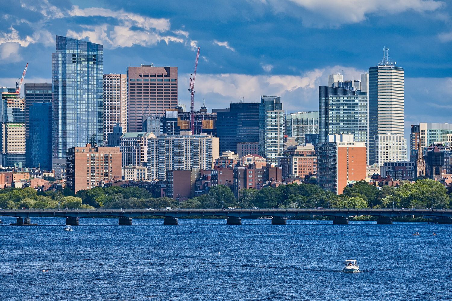
Three stations do the intercity work, and picking the right one saves real time.
- South Station — Amtrak’s Northeast Corridor to Providence, New Haven, New York and Washington, plus the commuter rail south and west and the main intercity bus terminal next door. On the Red and Silver Lines.
- Back Bay station — the same Amtrak trains stop here, one stop before or after South Station, and it is quieter, smaller and closer to most Back Bay and South End hotels. If your train stops here, use it.
- North Station — everything going north: Salem, Gloucester, Rockport, Newburyport, Lowell, Haverhill and Concord, plus Amtrak’s Downeaster to Portland, Maine. On the Green and Orange Lines, and directly under TD Garden.
The New York run is the one visitors most often ask about. Amtrak’s Acela is the fast option and the expensive one; the Northeast Regional takes roughly four hours and costs a good deal less; intercity coaches take longer again and cost less still. All three are more pleasant than flying between two cities this close, once you count airport time at both ends.
Getting Around by Season
Boston transport changes character across the year, and the differences are large enough to plan around.
Winter. Snow is the variable. A major storm slows or suspends surface transit, above-ground Green Line branches and commuter rail are affected first, and the city declares parking bans on main streets with towing enforced. Sidewalks are cleared unevenly, which makes walking genuinely harder for anyone with mobility needs. The upside is that the subway tunnels keep running when the roads do not, and a cold clear January day is a fine time to walk the Freedom Trail with nobody else on it.
Spring and fall. The best conditions of the year for walking and cycling, and also the busiest. Two dates to know: the Boston Marathon on Patriots’ Day, the third Monday in April, closes a long corridor of streets and packs the trains; and the Head of the Charles Regatta, 16 to 18 October in 2026, closes bridges and fills the riverbanks with the largest crowd of the year.
Summer. Weekend track work is at its heaviest, so replacement buses are common — check alerts before a Saturday journey. The ferries and the Harbor Islands services are all running, the Esplanade and the Harborwalk are at their best, and the humidity makes a fifteen-minute walk feel considerably longer than it did in May.
With luggage, with children, with a stroller
Some practical notes that do not appear on the fare chart. Escalators and elevators are inconsistent across older stations, so a heavy case can mean stairs — check the station rather than the line. Strollers are fine on buses and trains but the Green Line’s older street-running stops have steps up from the road. Children under a certain age travel free with a fare-paying adult, so ask at a booth rather than buying tickets you do not need. And on a trip with small children, the ferry is worth choosing over the subway every single time; it costs a little more, takes a little longer, and is the part of the day they will remember.
Day Trips Without a Car
Almost all of the good ones are reachable on public transport, which is unusual for an American city.
- Salem — commuter rail from North Station, about 30 minutes.
- Rockport and Cape Ann — commuter rail from North Station, about an hour.
- Plymouth — commuter rail from South Station.
- Providence — commuter rail or Amtrak from South Station, about an hour.
- Revere Beach — Blue Line, and the first public beach in the United States, established in 1896.
- Concord — commuter rail from North Station; Lexington needs a bus from Alewife or a car.
Buy the $10 commuter rail weekend pass if you are doing two of these on a Saturday and Sunday. It is the single best transport bargain in New England.
Why the System Looks the Way It Does
A little history makes the T’s oddities forgivable, and occasionally useful.
Boston built the first subway in North America because its streets had jammed solid. By the 1890s so many streetcars converged on Tremont Street beside the Common that they stopped moving, and the solution was to put them underground. The Tremont Street subway opened on 1 September 1897, and the tunnel under the Common is still in daily use as part of the Green Line. That is why the Green Line is a light rail system rather than a proper metro: it was never a subway line, it was a streetcar route that dived under a traffic jam and never came back up.
The color names arrived much later, in 1965, when the transit authority hired a design firm to make sense of a network that had grown by accretion. The colors were chosen for reasons: Green for the Emerald Necklace parks it runs beside, Red for Harvard’s crimson at its northern end, Blue for the harbor it runs under, Orange for Orange Street, the old name for the section of Washington Street it follows.
Then came the automobile era, which put an elevated highway straight through downtown and cut the North End and the waterfront off from the rest of the city for forty years. The Big Dig — begun in 1991, substantially finished in 2007, and the most expensive highway project in American history — buried that road, and the Rose Kennedy Greenway was laid out on top of it. Whatever you think of what it cost, the result is that you can now walk from Faneuil Hall to the North End through a park instead of under a viaduct, and the Freedom Trail works as a continuous walk because of it.
Most recently the Green Line was extended north into Somerville and Medford, opening in stages from 2022 — the first significant expansion of the rapid transit network in decades, and the reason Union Square and Ball Square are suddenly on the map for visitors.
What that means for you
Three practical consequences. The Green Line is slow because it is a nineteenth-century streetcar with a tunnel in the middle. Stations are small, old and awkward because they were built for smaller crowds and no elevators. And the network converges hard on four downtown interchanges, which is why almost every journey is one change or none — genuinely convenient, right up until something goes wrong at one of those four stations.
Mistakes People Make
- Buying a day pass for a walking day. $11 versus two $2.40 rides. Count your journeys first.
- Renting a car for a city trip. Parking alone will cost more than every other transport decision combined.
- Getting on the wrong Green Line branch. Read the letter, not just the color.
- Paying for the Silver Line at the airport. Inbound it is free. Walk on.
- Taking a taxi three-quarters of a mile downtown. You will watch pedestrians overtake you.
- Assuming the T runs all night. It stops between about 12:30 and 1am, which is earlier than the bars.
- Tapping different cards for a couple. The two-hour transfer only works on the same card or device, per person.
- Booking a tight airport connection through the tunnels at rush hour. Take the Blue Line instead.
- Riding a hop-on hop-off bus for orientation. The stops are within walking distance of each other in a city this compact.
Frequently Asked Questions
How much is the T in Boston?
$2.40 for a single subway ride and $1.70 for a local bus, on a CharlieCard, contactless bank card or phone. A one-day pass is $11 and a seven-day pass is $22.50. Since September 2026 the MBTA has been piloting unlimited transfers within a two-hour window on the same payment method, so you pay the highest-priced service you use rather than each leg.
Is Boston walkable?
Exceptionally, and it is the main way to get around the central neighborhoods. The historic core is about three miles end to end, the Public Garden to the North End is a thirty-minute walk, and the Freedom Trail is 2.5 miles. Use the T for Cambridge, Charlestown, the Fenway, East Boston and the airport, and walk almost everything else.
What is the cheapest way from Logan Airport to downtown Boston?
The Silver Line SL1, which is free when you board at the airport. It picks up at every terminal on the arrivals level and runs to South Station, connecting to the Red Line. Going the other way you pay the $1.70 bus fare. The alternative is a free Massport shuttle to Airport station and then the Blue Line for $2.40.
Do I need a CharlieCard as a visitor?
No. Tapping a contactless bank card or a phone at the gate costs exactly the same as a CharlieCard and saves you a line. Get a card or a paper ticket only if you want to load a multi-day pass or you are paying with cash.
Does the T run 24 hours?
No. Last trains leave downtown roughly between 12:30 and 1am, varying by line, and service starts around 5am on weekdays. There are a handful of late-night bus routes, and otherwise it is a ride-hail app. Plan evenings around this — it catches people out after a late dinner in a different neighborhood.
Should I rent a car in Boston?
Not for the city itself. The streets predate cars by two centuries, downtown parking runs $40 or more a day, and overnight hotel parking is charged on top of the room. The commuter rail reaches Salem, Rockport, Plymouth and Providence. Rent a car only for a specific trip — Lexington and Concord, or the Cape — and only for the day you need it.
Which Green Line branch do I need?
B for Boston College and Allston, C for Cleveland Circle and Brookline’s Beacon Street, D for Riverside and the Fenway stop, E for the Longwood medical area, the Museum of Fine Arts and Heath Street. All four share the downtown tunnel and separate west of Kenmore, so read the letter on the front of the train. The B branch in particular is very slow — around thirty stops in four miles.
Is the MBTA accessible for wheelchairs?
Partly. Newer and rebuilt stations have elevators and level access, but a number of older ones — especially on the Green Line’s street-running branches — do not, and two stations on the same line can differ. Every bus in the fleet has a ramp or lift. Check individual stations on the MBTA’s accessibility information before you plan a route.
Is a Boston day pass or 7-day pass worth it?
Do the arithmetic on journeys, not days. An $11 day pass needs five subway rides to beat singles at $2.40, which most visitors do not make in a city this walkable. The $22.50 seven-day pass needs about ten rides across the week, which almost anyone staying outside the central neighborhoods will reach by the third day. If you are based in Back Bay or the North End and walking everywhere, buy singles.
What is the best way to get back from the end of the Freedom Trail?
The MBTA ferry from Pier 4 at the Charlestown Navy Yard to Long Wharf, about ten minutes across the water with the skyline in front of you. The alternatives are the Orange Line from Community College, a ten-minute walk downhill from the Bunker Hill Monument, or the 93 bus through Haymarket for $1.70. Check the ferry timetable before you leave the monument, because sailings thin out on weekends.
How do I get to Salem from Boston?
Commuter rail from North Station, about thirty minutes. Extra weekend services run in October for Haunted Happenings, when the town is at its busiest. If you are also doing another day trip that weekend, the $10 commuter rail weekend pass covers unlimited travel on Saturday and Sunday.
The commuter rail is the reason a Boston trip does not need a rental car, and the network reaches further than most visitors realize. Our guide to day trips from Boston works through thirteen destinations on those lines – Salem, Concord, Rockport, Lowell, Plymouth, Providence – with times, costs and which station each one leaves from.
Every venue in the city sits on a line, which is a large part of why going to a game here is easy: the Green Line drops you at Kenmore for Fenway, and TD Garden is built directly on top of North Station. Our guide to Boston sports has the route to each one, including the special event trains to Foxboro that run on match days only.
The mode this map is easiest to forget is the ferry, and it is the one worth remembering: the Charlestown crossing is a standard fare, and the Hingham and Hull commuter boats take you down the length of the harbor for the price of a commute. Our guide to Boston harbor and the islands sets out every route on the water, including the seasonal island service.
The single most expensive mistake a visitor makes on this network is misjudging the last train. Our guide to Boston nightlife works through the consequences: which neighborhoods to drink in if you are sleeping downtown, why Somerville is a trap at one in the morning, and how far you can realistically walk instead.
Fares are only half of what a visitor needs to know before arriving. Our guide to Boston travel tips covers the rest — tipping, the three tax rules that catch people out, what to pack for each season, the museums that close on Tuesdays, and the ten mistakes visitors reliably make here.
The Freedom Trail is a good example of how well the T serves a walking visit: Park Street, State, Government Center, Haymarket, North Station and Community College all sit on or beside the route, and the ferry from the Navy Yard makes the best ride home. Our Freedom Trail map guide sets out which station serves which stop.